Antigua and Barbuda is an island country bordering the Caribbean Sea and Atlantic Ocean. Belongs to the Small Antilles. Surrounded by the islands of Guadeloupe to the south, Montserrat to the southwest, Saint Kitts and Nevis in the west and northwest of St. Bartholomew.
According to the social order, Antigua and Barbuda is a parliamentary monarchy within the Commonwealth.

This state consists of three islands. In addition to Antigua, which has 280 km ², it is still Barbuda from 161 square kilometers north of Antigua, and one uninhabited rockyislet of Redonda, which has one square kilometer and lies southwest of Antigua. The total area of ??the country is 442 km ².
The capital is Saint John's. It is located in Antigua, at the bottom of the deep sea bayin the northwest of the island. The third largest city in the All Saints.
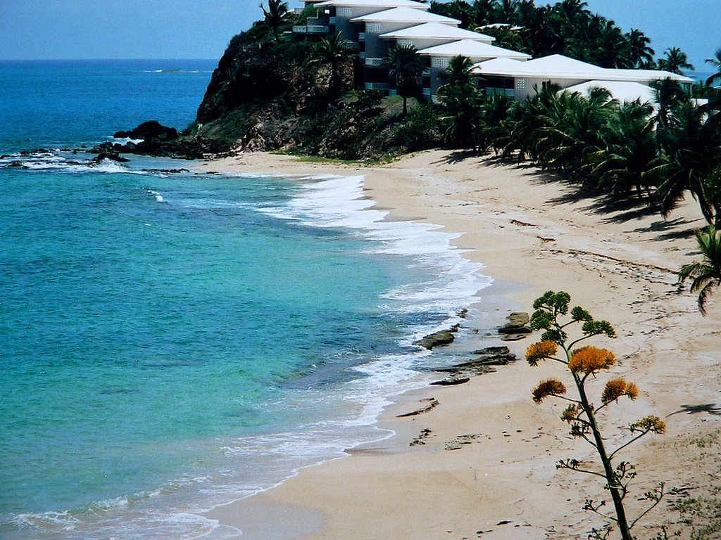
Antigua is known for their 365 beautiful beaches.
The island has some gorgeous white sand beaches and pristine blue waters. Some of the popular beaches are Dickenson Bay, Runaway Bay, Rendezvous Bay and Half Moon Bay. Some of the best beaches can be discovered by just hopping in a car and driving the coastline; hidden little gems of beach are just waiting to be found.


.JPG)

This page, and all contents of this Web site are Copyright © 2009-2012 by Best Trip Destination.All rights reserved.


